How People Reached Hana Before the Road
East Maui was reached on foot and by canoe for centuries before any highway. The clearest surviving evidence stands at 650 Ulaino Road, where Piilanihale Heiau sits inside what is now Kahanu Garden and is believed to be the largest ancient structure in Polynesia. On the coast at Waianapanapa, the Ke Ala Loa O Maui, also called the Piilani Trail, still runs toward Hana through a native hala forest, past sea stacks, blow holes and a natural stone arch. The valleys inland carried the water and the crops. Wailua village taro fields spread below the Koolau Gap in the Haleakala rim, and you can see them from the Wailua Valley wayside.
Bridge and road construction across East Maui ran between 1900 and 1947, and the automobile route to Hana was finished in 1926. It opened on December 18 of that year, giving drivers a continuous line from Kahului to Hana for the first time. Surfacing lagged badly: the road was not fully paved until the 1960s, so for roughly four decades the trip east meant gravel, mud and single-lane crossings over streams that flood without warning. The 59 bridges standing along the route were built between 1908 and 1947. That is why so many of them are narrow by modern standards, and why oncoming traffic still takes turns at each one.
Why the Drive Takes So Long
The Hana Highway covers 64.4 miles of Hawaii Routes 36 and 360 between Kahului and Hana. Hawaii's tourism authority puts Hana 52 miles from Kahului and the one-way drive at two to four hours. The arithmetic behind that: 620 curves and 59 bridges along Route 360, with 46 of the bridges only one lane wide. At a one-lane bridge one direction waits while the other crosses, and you will do that several dozen times in a morning. Add a slow car ahead of you and a shower that slicks the asphalt, and you land at the four-hour end of the official estimate.
Two route numbers cover the same drive. HDOT defines Route 36 as Hana Highway from Kaahumanu Avenue to Kaupakalua Road; Route 360, the twisting section people mean when they say Road to Hana, starts at Kaupakalua Road and ends at Keawa Place just before Hana Bay. Addresses out here come as mile markers rather than street numbers, which is how the Kipahulu District of Haleakala National Park ends up with a GPS address of Mile Marker 41 Hana Hwy. The Hawaii Department of Transportation maintains the highway, and the continuation past Hana, Route 31, belongs to Maui County.
Rain is the constant here. Long-term records at Hana Airport average 82.28 inches a year, and every month of the year clears four inches: March is wettest at 9.52 inches, June driest at 4.08. Temperature barely moves, with mean values running from about 71.0 °F in February to 76.9 °F in August. The National Weather Service splits Hawaii into a summer season from May through October and a winter season from October through April, and notes that windward East Maui collects rain from winter storms and from trade-wind showers, so the seasonal gap is small. Streams react within minutes, and the Park Service warns that East Maui water can rise four feet in ten minutes.
The Road to Hana in Numbers and Dates
1926
The year the route to Hana opened to cars, on December 18
64.4 miles
Length of the Hana Highway, Kahului to Hana town
620
Curves in the official count along Route 360
59
Bridges along the route, built between 1908 and 1947
46
Of those bridges are one lane wide
2001
Listing on the National Register of Historic Places, June 15
How the Road Became a Historic District
Formal recognition came late. The Hana Highway went onto the National Register of Historic Places on June 15, 2001 as a historic district, and Route 360 forms part of the Hana Belt Road Historic District listed on both the Hawaii and the national registers. The protection covers the roadway itself, its alignment and the bridges built between 1908 and 1947. That listing explains a good deal about how the drive feels, since a historic district cannot simply be widened and straightened. Repairs happen in short segments instead, which is why HDOT notices read as a list of mile markers rather than a closure of the whole road.
Tourism reshaped the traffic long before anyone tried to manage it. Hawaii's official tourism page now says plainly that visitors are encouraged to travel the road on a permitted guided tour rather than take it on alone, citing the one-lane bridges and hairpin turns behind that two-to-four-hour drive time. The tours on this site are built around the real clock: 6 hours for the limo-van paired with a helicopter flight, 7 to 11 hours for most small-group days, 12.5 hours for the longest full-route itinerary. Pickup windows open between 5:50 and 6:30 a.m. in Kahului, at 6:00 a.m. at Cannery Mall Lahaina, and at 7:20 a.m. for island guests on the shortest day.
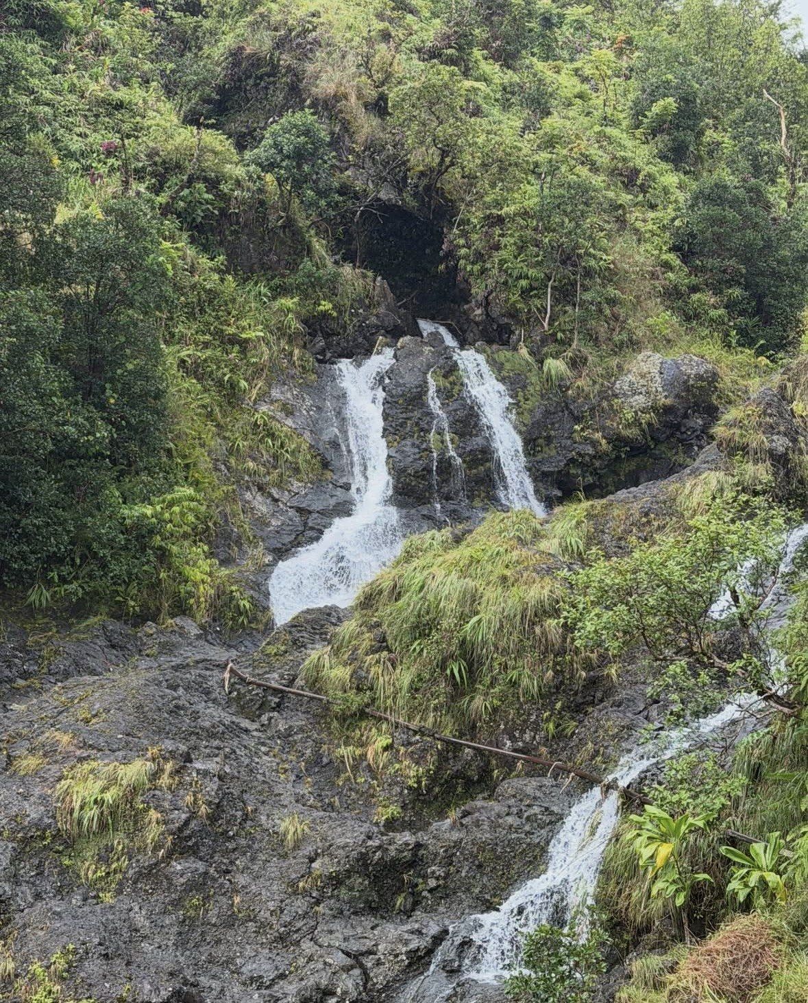
Crowds are now managed with gates and timed tickets. Waianapanapa State Park, the black sand beach at Hana, opens 7:00 a.m. to 6:00 p.m. daily and takes reservations for entry and for parking. The day is split into four time slots, released 30 days ahead one day at a time at midnight Hawaii Standard Time, and same-day slots are not sold; everyone has to be inside the park by 5:30 p.m. Twin Falls at mile marker 2 has 55 first-come parking spots, bans roadside parking and U-turns, and closes to out-of-state visitors on the first Saturday of every month. Several tours on this site include the state park admission, which is the simplest way through that system.
The Road to Hana Today
The drive still starts in Paia, about four miles east of Kahului, which the Park Service names as the last gas station on the Hana Highway before Hana. After that, stops arrive by mile marker. Twin Falls opens its gate at 7:10 a.m. at mile marker 2 and stops admitting at 4:30 p.m. The Garden of Eden Arboretum covers 26 acres at mile marker 10.5 and is open 8:00 a.m. to 4:00 p.m. daily. Aunty Sandy's banana bread stand sits just past mile marker 16 on the Keanae Peninsula, Monday to Saturday from 8:30 a.m. to 2:30 p.m. Coconut Glen's coconut-milk ice cream is at mile marker 27 and a half, and Hana Farms comes past mile marker 31.
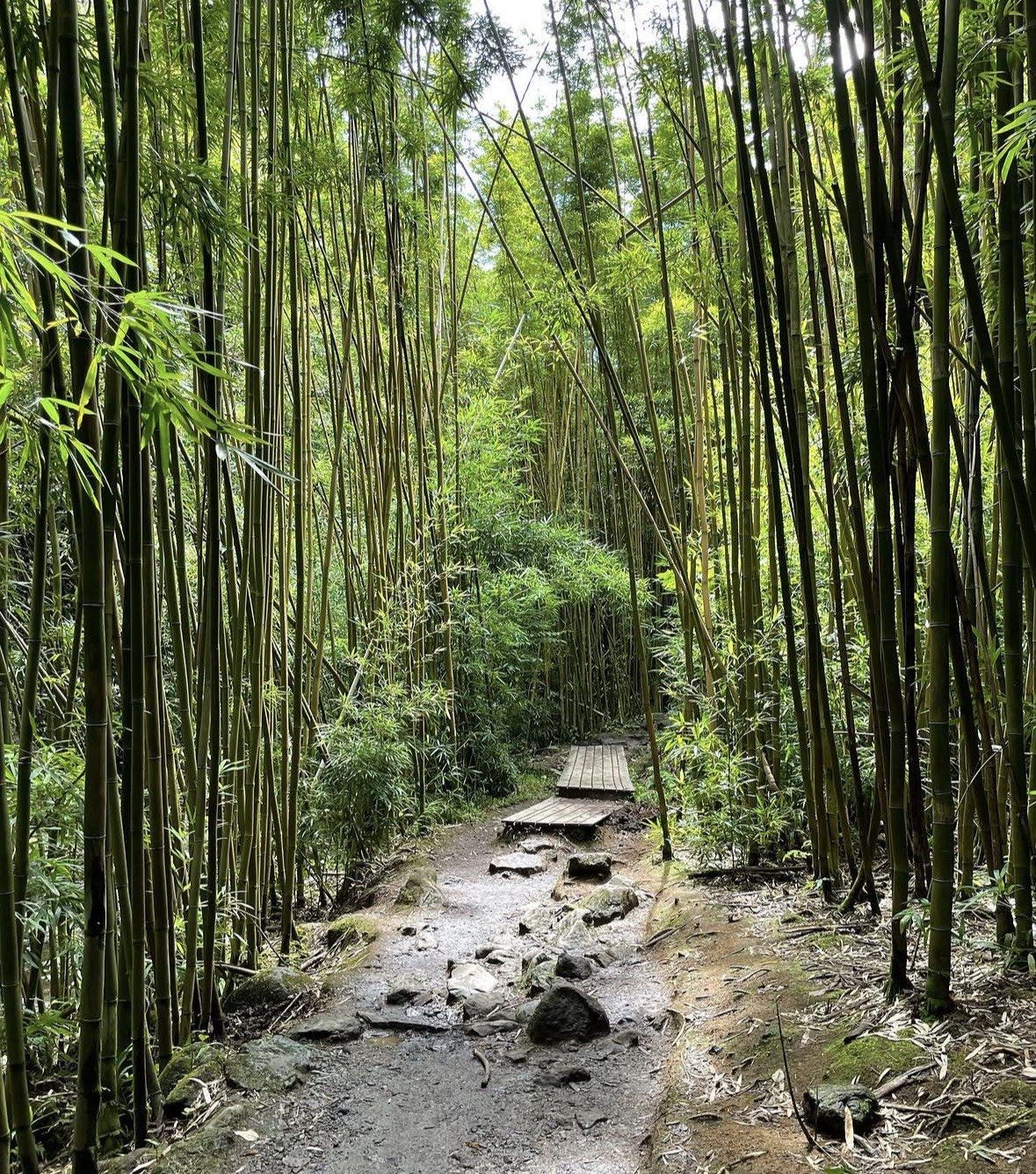
Twelve miles past Hana town the road reaches the Kipahulu District of Haleakala National Park, open 24 hours, which the Park Service puts at about four hours' driving from Kahului. The Pipiwai Trail runs 4 miles round trip with a climb of 800 feet, rated moderately strenuous, passing the Makahiku Falls overlook about half a mile in, a bamboo forest on boardwalks around a mile in, and 400-foot Waimoku Falls at two miles one way. The Kuloa Point Trail is shorter at 0.5 miles with 80 feet of climb, and it gives the view of the Pools of Oheo, which cannot be entered. No gas or food is sold inside the park. Compare the departures on this site and pick one that reaches Kipahulu with daylight left.